Extreme heat and air pollution kill!

Tag: climate change

Imperial Valley Environmental Justice Summit

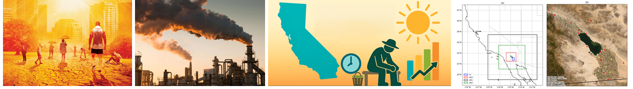
Some 100 miles east of San Diego, lives a big agri-town called Imperial Valley (IV) that supplies 2/3 of the winter vegetables and 1/3 of the fruits/vegetables consumed in the entire US. Majority of IV residents are hispanic with 25% living below poverty line and the majority of farmworkers are migrant workers coming from Mexicali across the US-Mexico border. IV has high rates of asthma (one in five children) and the highest heat-related illness rate in the entire state. Several environmental threats contribute to these issues, including the harsh desert climate, the shrinking Salton Sea, blowing dust storms, pesticides-laden runoff from highly irrigated lands, agricultural activities that produce dust and smoke, rapid urbanization, industrial expansion, and now the lithium exploration activities.

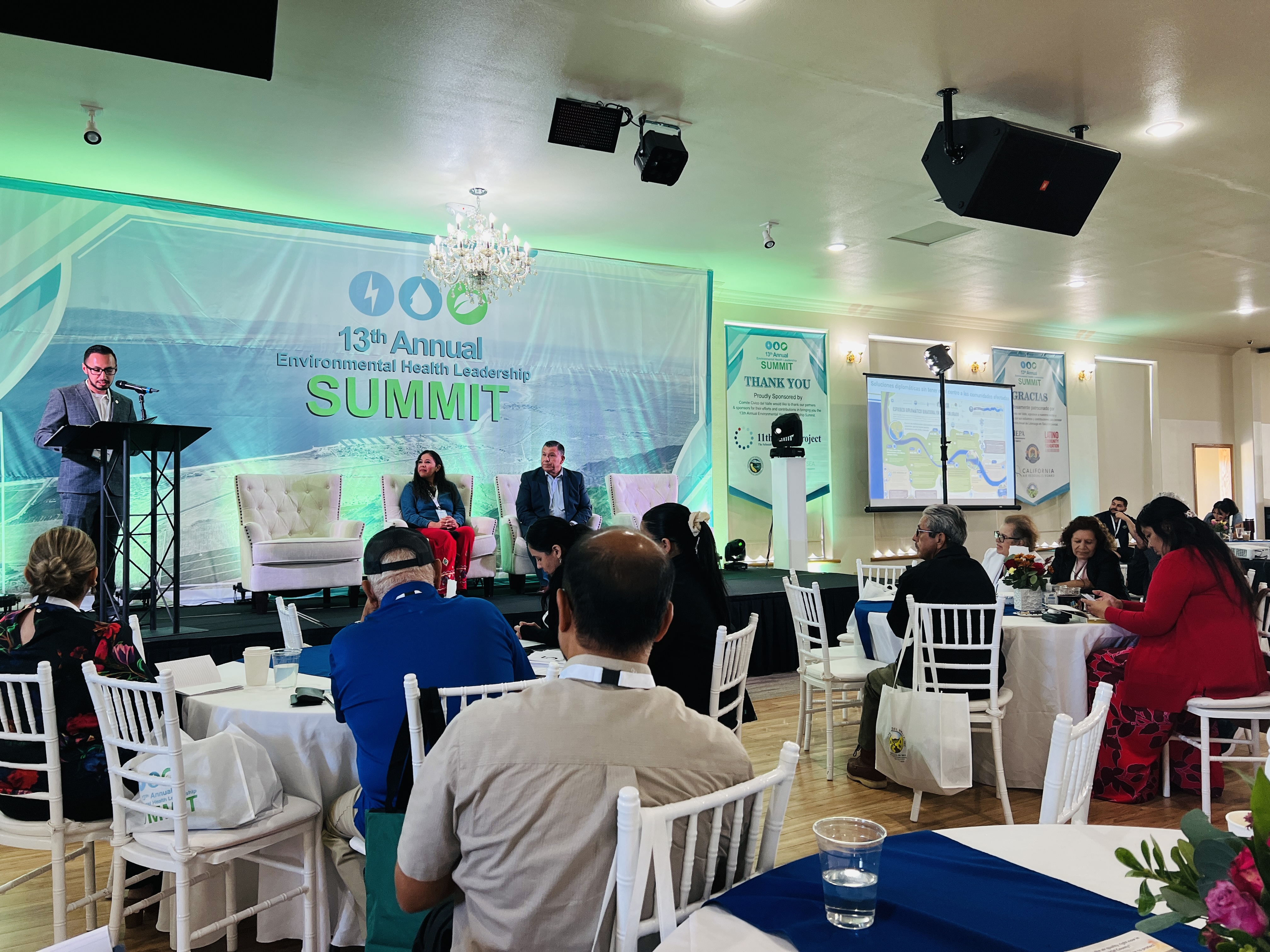
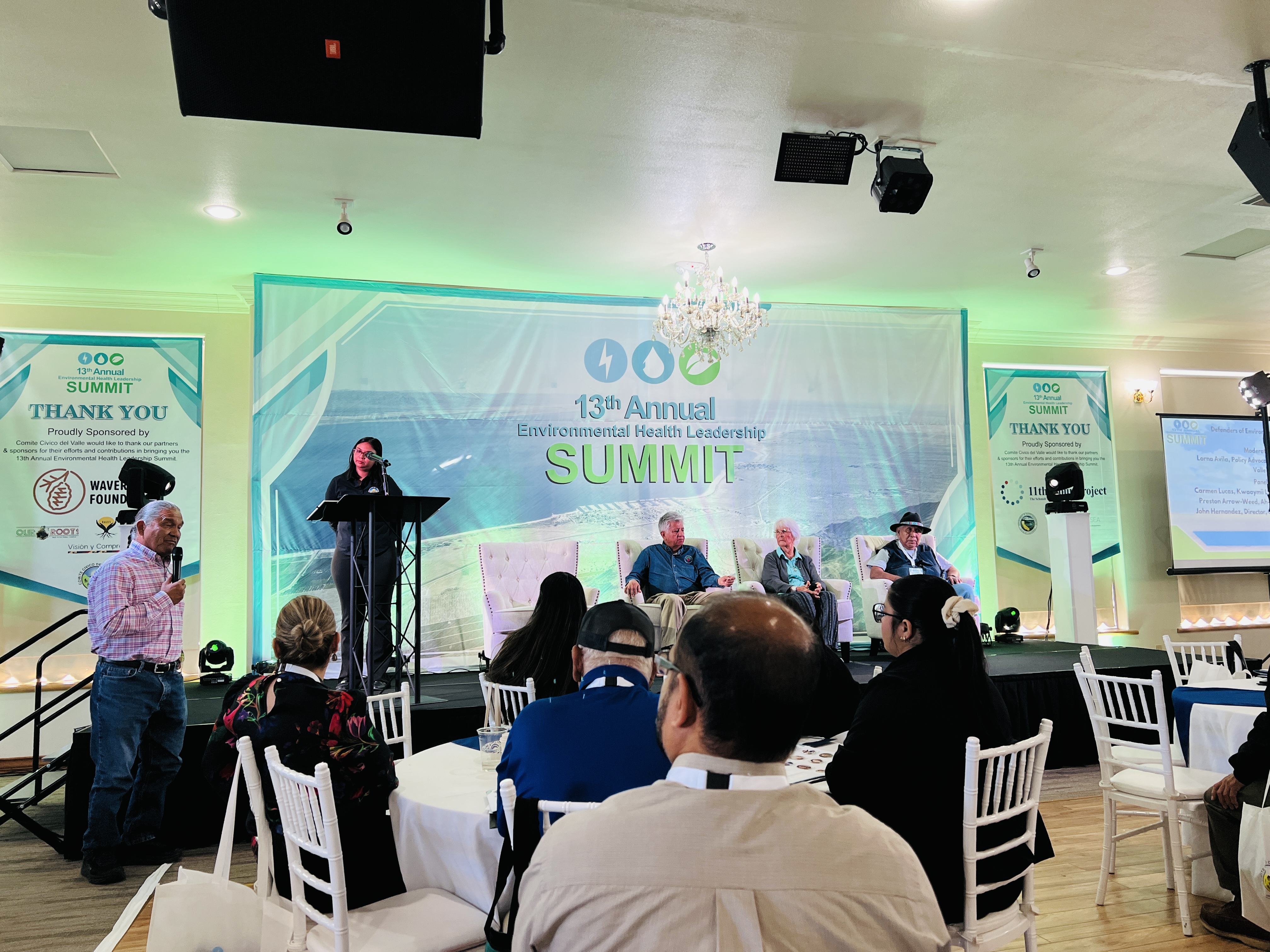
State and Federal government representatives, local NGOs and community members, researchers, and most importantly, the farmworkers, met to discuss about how to deal with the emerging environmental challenges of the region in an event called EJSummit. The Environmental Health Leadership Summit (EJSummit) is an annual event organized by a local community organization called Comite Civico del Valle now in its 13th year. The event occured on October 22/23 this year, right next to the agricultural fields of the IV in El Centro, CA.

Following points were noted:

  1. The hot brine below the Salton Sea (not the Salton Sea water) has enough Lithium to meet 1/3 of today’s global demand. The proposed Direct Lithium Extraction method extracts lithium from brine directly using more environmental friendly technique using a adsorption material thereby rejecting the brine which is reinjected underground, but the technology has not been implemented in industrial scale so the reality of anticipated ‘Lithium Valley’ is yet to be realized.
  2. The Salton Sea continues to shrink due to high rate of evaporation combined with reduced inflow of water caused by the Quantification Settlement Agreement (QSA) of 2003 that diverted some 15% water to San Diego region. The local people mentioned that many people have lost their jobs due to reduced agricultural activities, caused by the reduced water inflow to the IV crop fields.
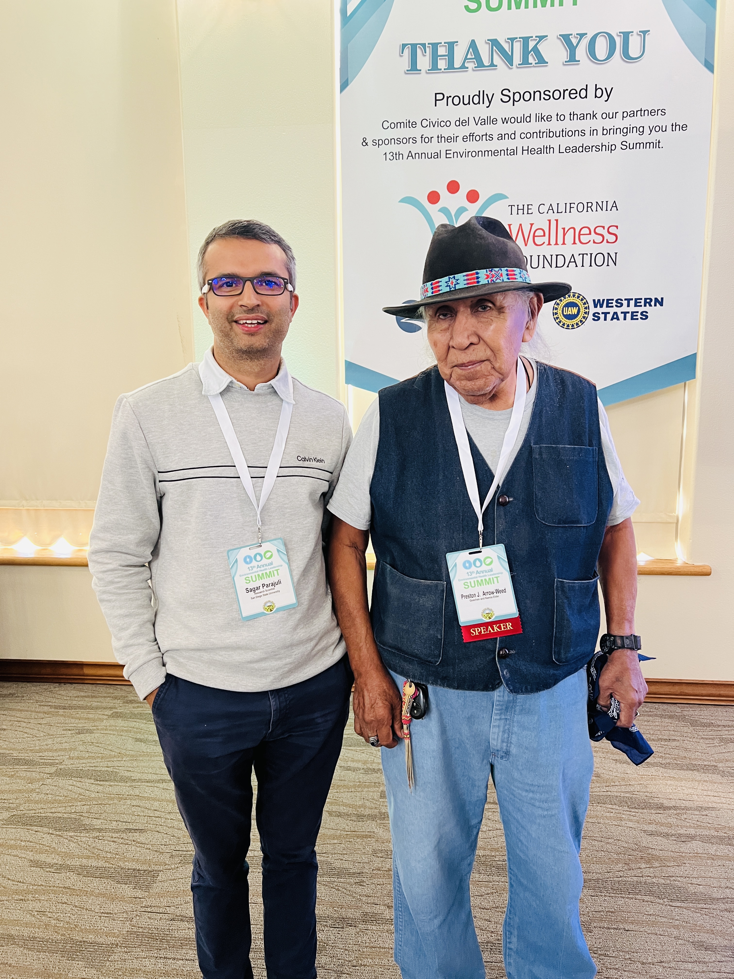
  3. Speakers included 84-year old living legend Preston Arrow-Weed (in picture), a member of Kumeyaay tribe, who lived in this region for thousands of years. Who else can better teach how to reduce our environmental footprint and to live in harmony with nature?

Satellite data: an overly underused resource

Satellite data have greatly contributed in improving our understanding of Earth’s climate. We have several climate models but, without satellite data, we don’t know how they are performing. Without the satellite data, we don’t know how far is our imagination from reality. Satellite data provide us the realistic boundary conditions. Without the boundaries, our theory may easily turn into a fiction.

satellitesai.jpg

Several satellites fly above us everyday. They are watching us. They are recording our behavior. They are indeed CCTV in large scale. They are recording human activities. We have done many things unconsciously in the past. We have emitted environmental pollutants. We have polluted ocean and water bodies. We have cut down trees. But now it is all documented. If you emit pollution or exploit natural resource, you may have to appear in the court one day.

A lot of data has been generated by various satellites. There is a lot of data. Tremendous amount of data. But, unfortunately, only a fraction of this data has been really used, for some useful purpose.

Take an example of surface reflectance data which are available from MODIS and other satellites. Reflectance basically measures how the surface properties change over time. In fact, Earth’s surface records a lot of things, much more things than what you think right now. When it rains, it gets recorded. When the surface gets dried, it is recorded. When it is very cold, it is recorded. When it is very hot, it is recorded. When a hurricane happens, it is of course recorded. When there is flooding, it is indeed recorded. When an asteroid falls, why would it not record it? Deforestation is surely recorded. Even information about day, night, and Earth’s rotation all are recorded. What is not recorded? Everything. Just everything. In a single reflectance data, you will find everything you need. You just need to change your perspective. You will see a lot of information hiding in the data set.

It is only because of our poor creativity that we are sending satellites one after another. Otherwise, we can extract myriad of useful information that we need just from a single data set. We just need some skill to decode that information. We just need a creatively advanced algorithm to extract the required signal from the data. We will benefit more from our satellite data if we spend more time developing algorithms that can extract the various useful signals in a data set.

The possibilities of using satellite data are endless. We just need to be creative. Do not search in Google Scholar for what others have already done with the data. If you do so, you will only reproduce what others have already done. Ask yourself. How can you use the data to manifest your inner passion? Think differently. Creativity will emerge, from within you.

Who said that vegetation data can’t be used to study the fires? We just need to understand the connection. Creativity is within us. To be creative, we have to believe in our own capacity first. The only difference between we and Einstein is that Einstein believed in himself but we didn’t. The exact same intelligence resides within each of us. It is only a question of how much we allow it to come out. To the one who believes in himself/herself, possibilities are endless.

Powered by WordPress & Theme by Anders Norén