
I wanted to end my holidays by paying a visit to my research site, the Salton Sea and the Imperial Valley. The GPS took me through highway 79, which was one of the windiest road I have ever driven in the US.
A quick video of Lake Cuyamaca
One of the main attraction en route was the Lake Cuyamaca Recreation park. People were fishing and having fun at the park. It was chilling cold though for me having come from Santee. It is indeed one of the best camping site, which I will consider for the future. Borrego springs and Anza-Borrego Desert State Park are two other attractions en route which are a few miles west and east of the highway.
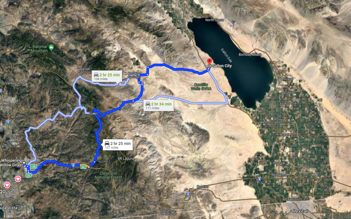
After the winding road ended, there comes the flat land of Ocotillo Wells State Vehicular Recreation Area, which is a popular camping site. Before I reached the site, I saw dozens of RVs coming from the opposite direction and I was wondering from where they were coming. Then I passed through the Ocotollio Wells camping area and realized those were the people who camped in the area and were returning home after celebrating the new year outdoor. It was January 2 so it made perfect sense.
One of the bizarre site I came across while heading to Westmoreland was the Republic of Slowjamastan. I became so curious after I saw a big signboard with such a name because of the key words ‘republic’ and ‘slojamastan’, which sounds a bit russian. The board clearly seemed eccentric to the California land. I googled about it later and knew that it was a micronation declared by an individual, which has become a humorous and symbolic attraction at least if not more.
Then I headed to the Salton Sea near the Salton City. I was determined to touch the water of Salton Sea today so I explored several off roads going to the Salton Sea and I finally found a dirt road which went straight to the sea through the marshlands. I stopped my car some 100 feet away from the sea shore and headed to the Sea. A few birds were the only living creatures other than myself around. The water was somewhat clean, not what I had expected at the least. It probably gets dirter in summer and the foul smell would also be more severe by then. In this winter time, the Salton Sea looked quite nice and clean. It was not a beach so I had hard time walking on the spongy land but I was able to touch its water, which was warm, a peculiar characterstics of the Salton Sea.
A close-up view of the Salton Sea Shore
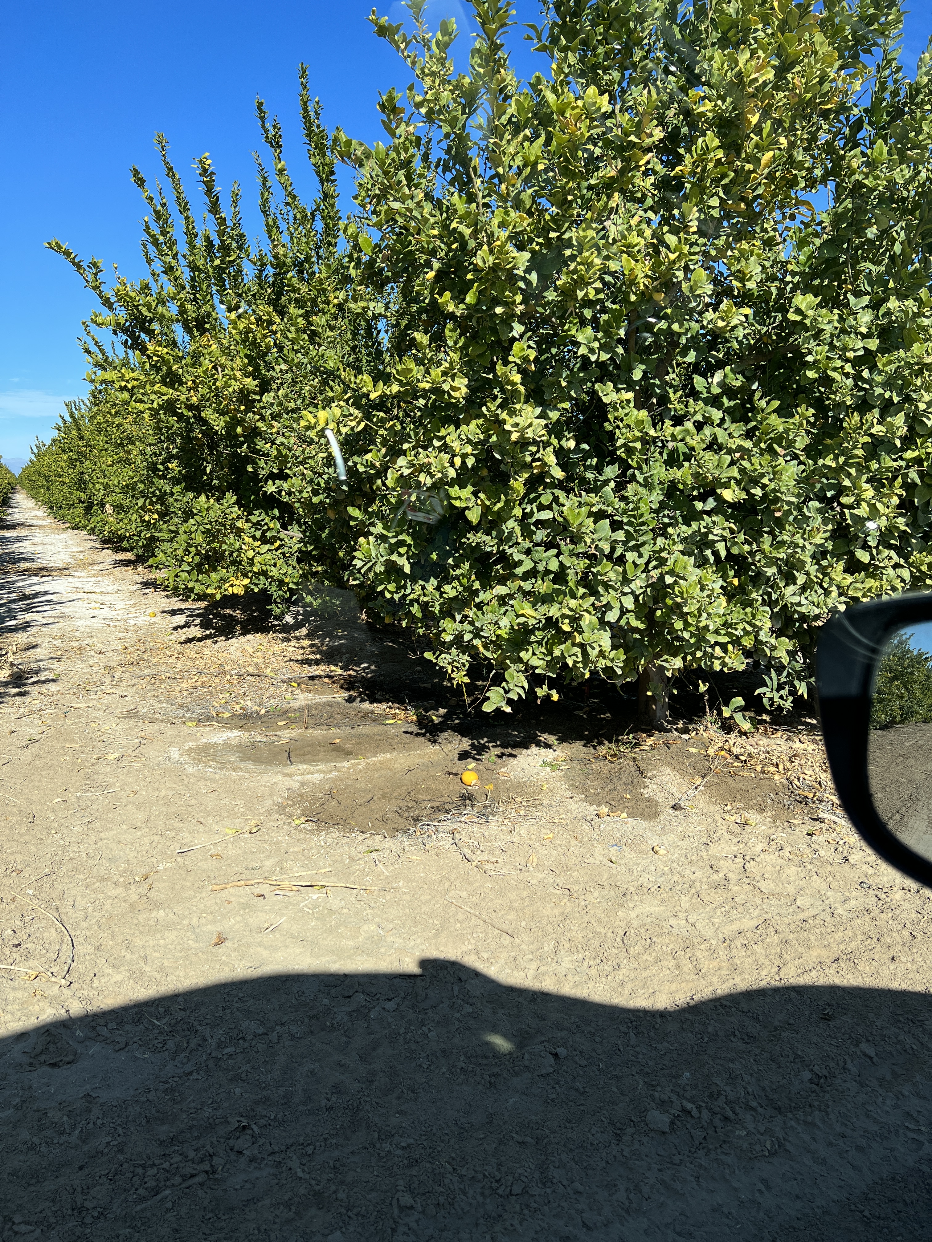
Upon my return, I visited a few farms such as Bee Sweet Citrus and Three Flags Ranch. They were mostly growing Lemon, Pomelo, and Date Palms. I was so curious to see these farmlands that I didn’t care the signs ‘no trespassing’ at all and kept driving through these orchards.
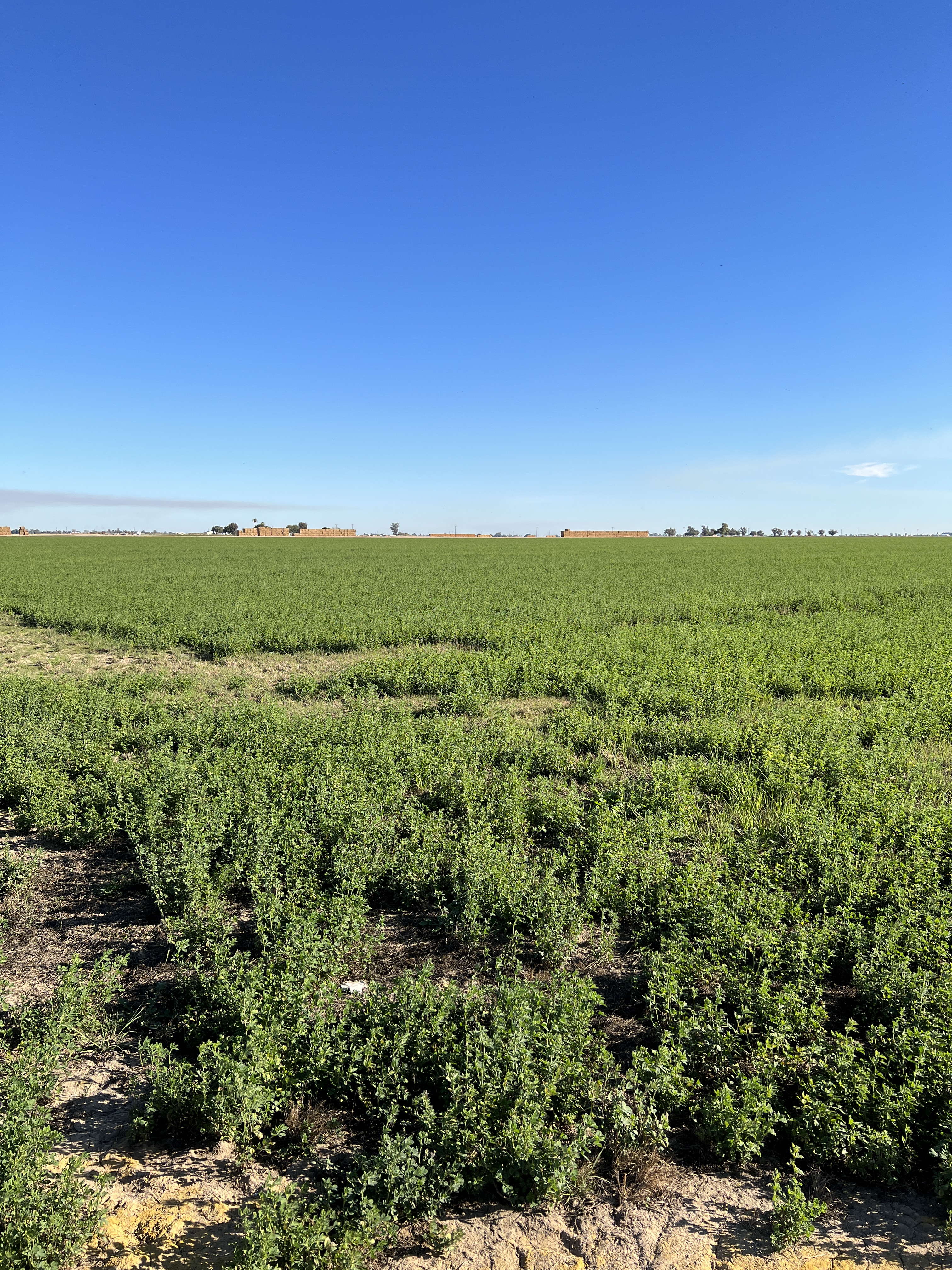
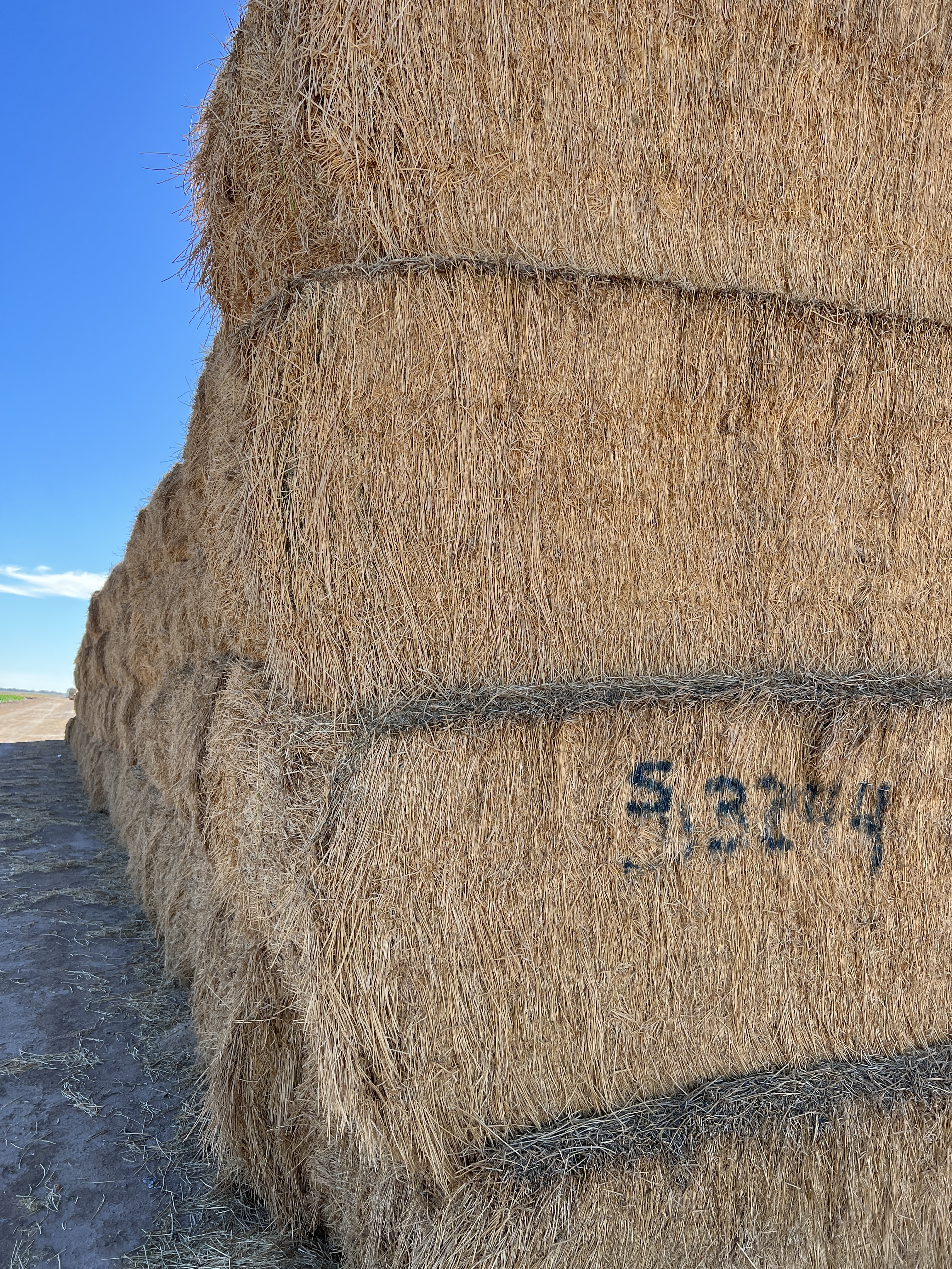
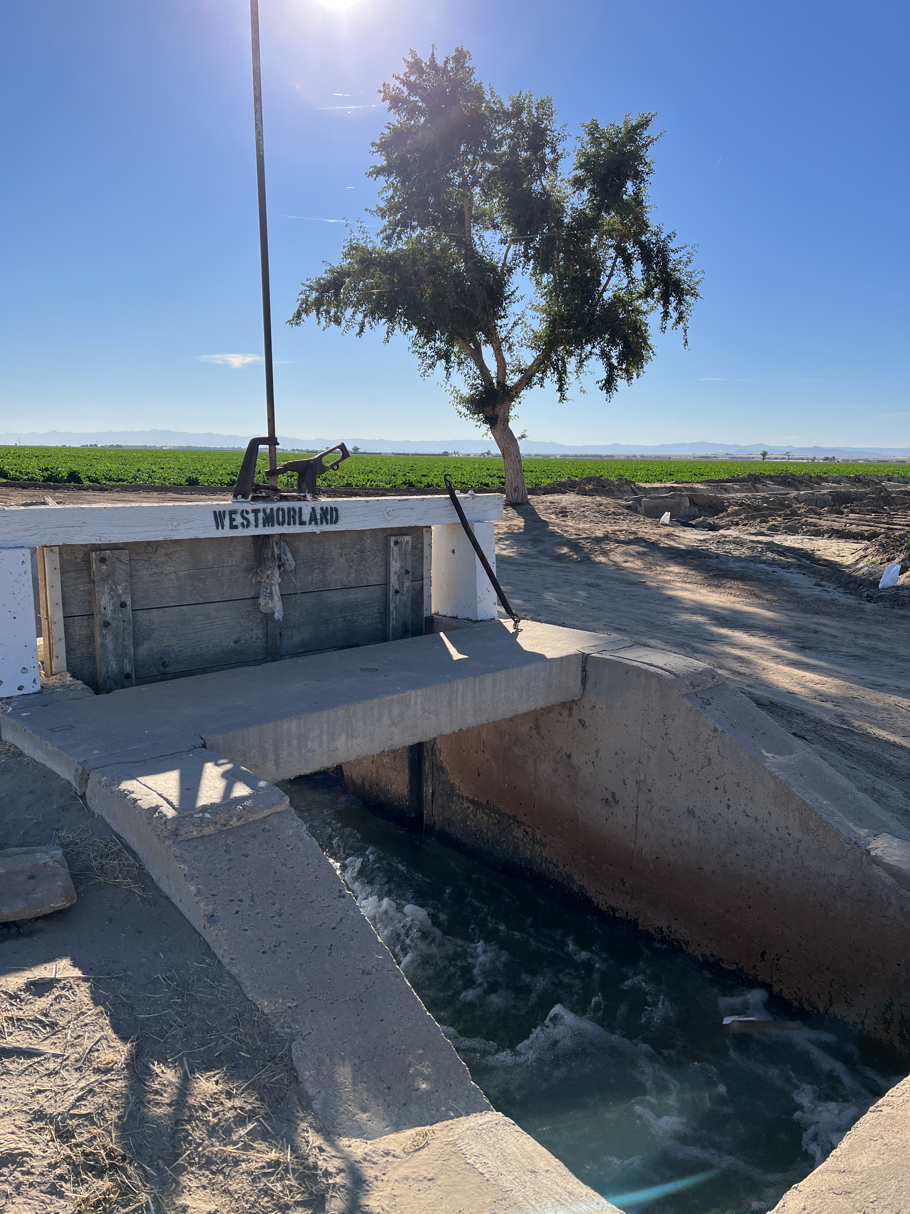
Then I came across the famous Alfalfa fields, as I passed through the Forrester Road S30 towards the south. Alfalfa is the protein-rich plant used to produce hay for the cattles. The hay gets exported to the dairy farms across California and as far as Japan and Saudi Arabia. I was seeing these fields for the first time. Most of the Alfalfa was already harvested and stacked ready to be transported. But some nearby fields were already growing another round of Alfalfa. When I entered the fresh young Alfalfa fields, it was very muddy because Alfalfa is often flood irrigated. As a matter of fact, Alfalfa is one of the most water-intensive plant. The farmers were using the water from the nearby canals.
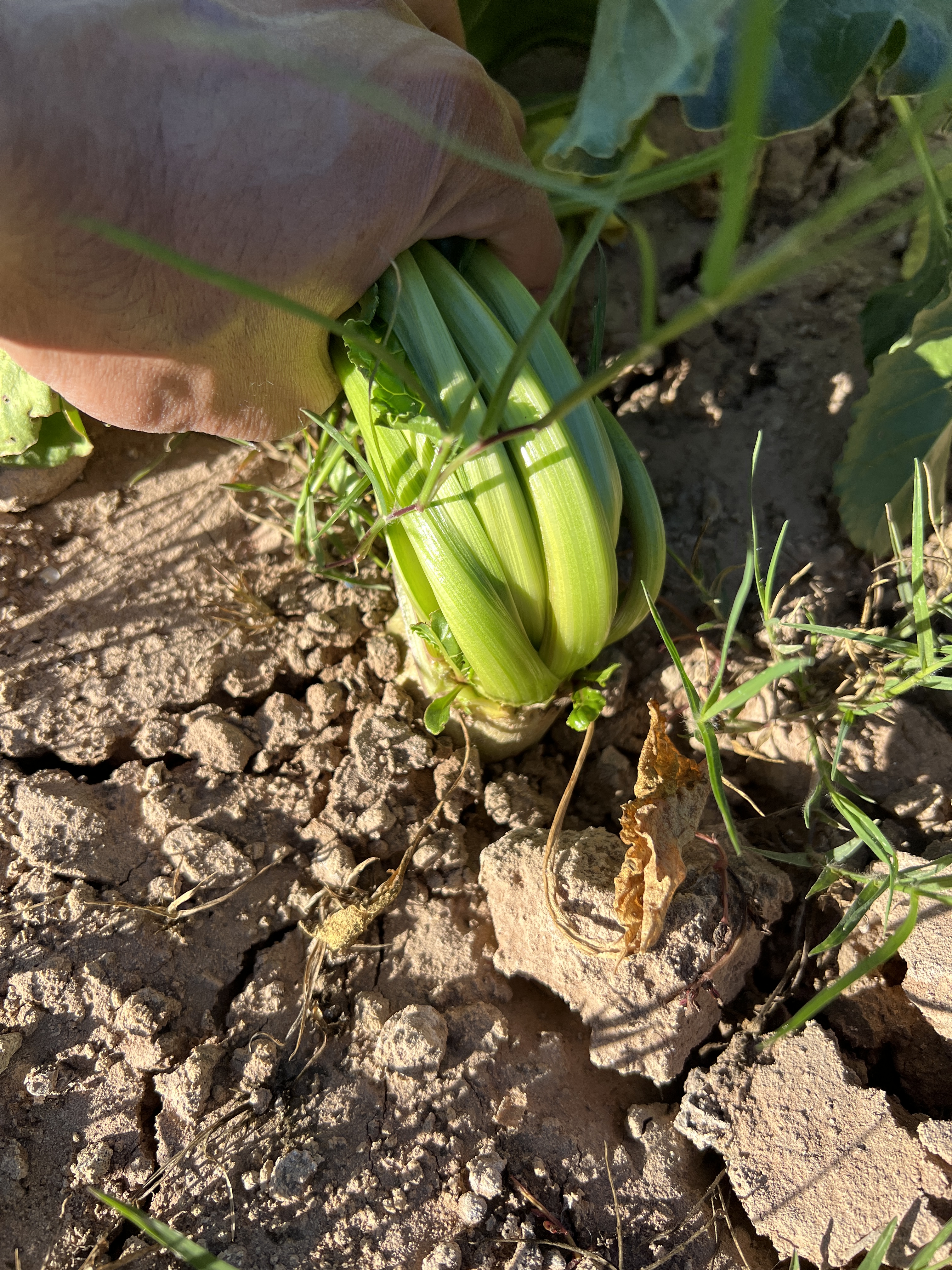
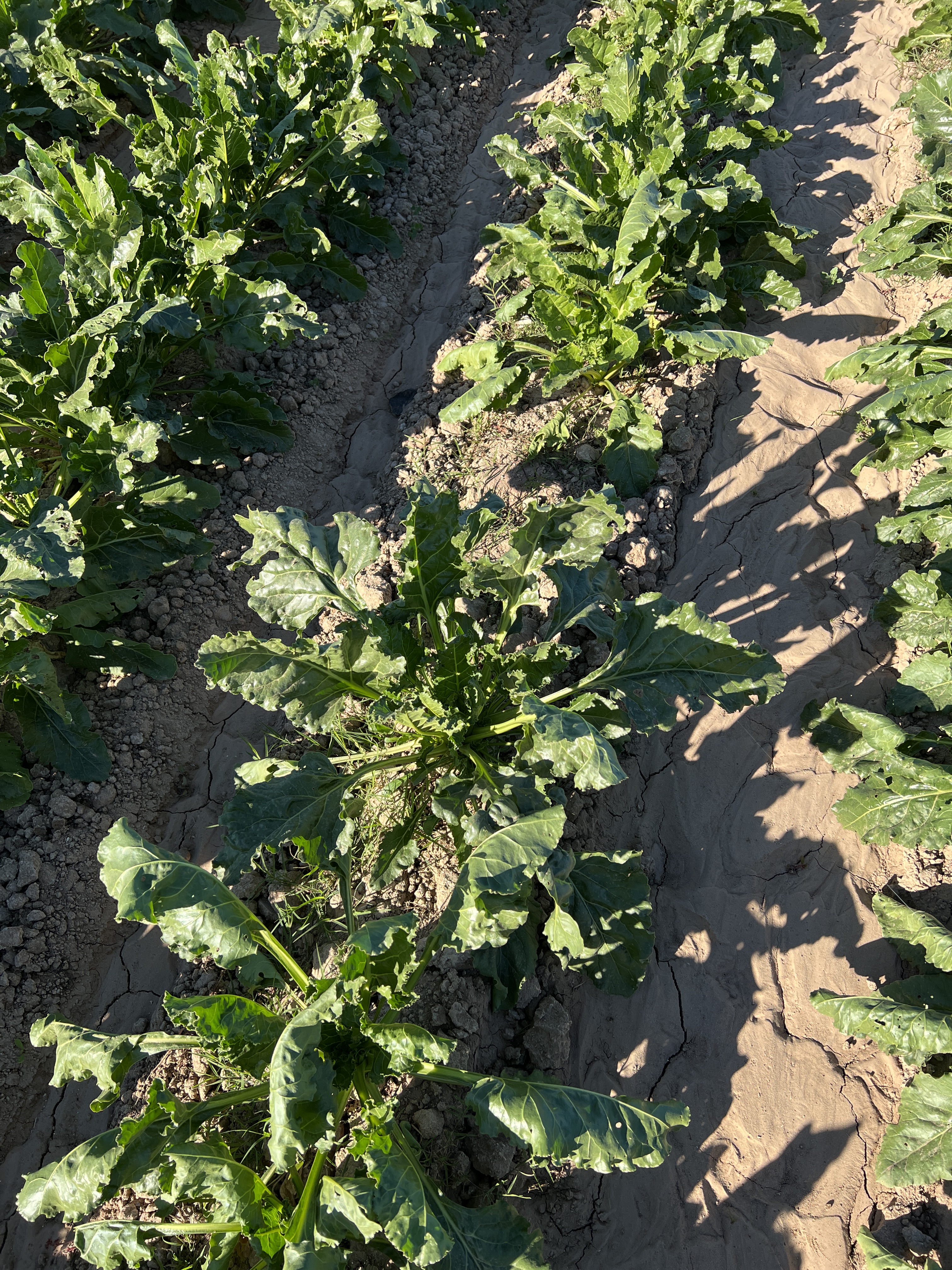
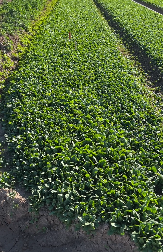
Other than Alfalfa, I mostly saw spinach and turnips growing there.
I enjoyed chicken tacos (always corn option for me) in a local Chevron store in Westmoreland.
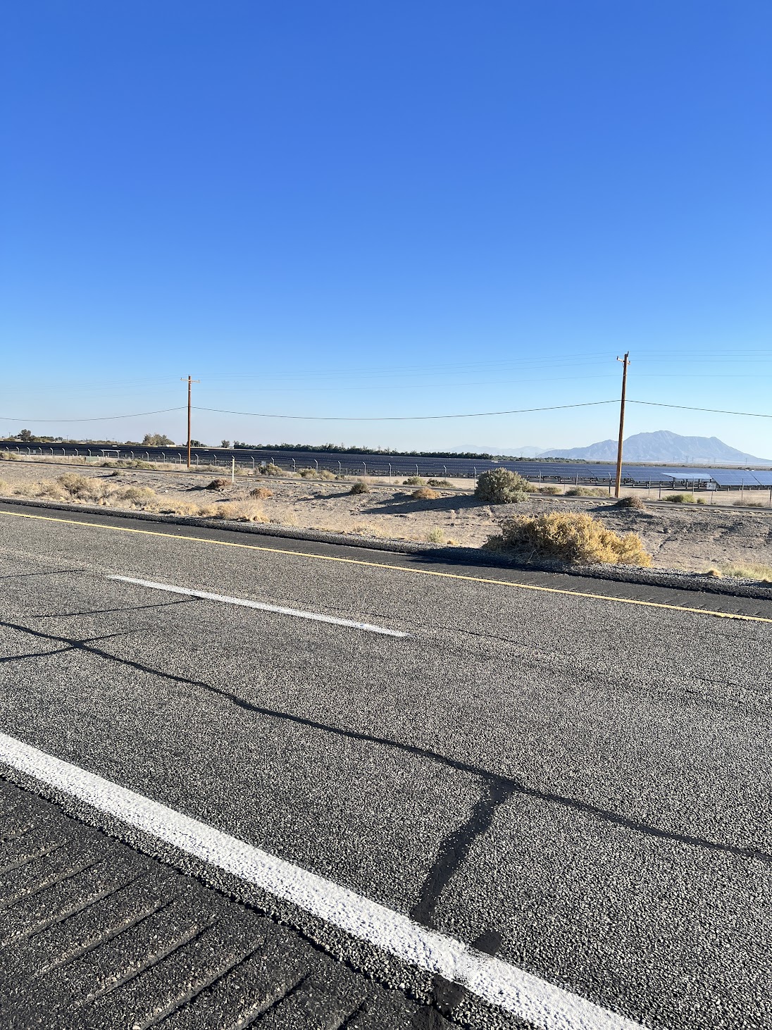
Upon my return, I passed through a solar field, the Tenaska Imperial Solar Energy Center South, a 130 MW solar field, developed by the Tenaska Energy company in 2013. It begins right after the Alfalfa crop fields after the Foxglove canal and extends on both sides of the I-8 commonly called as the Kumayaya highway.
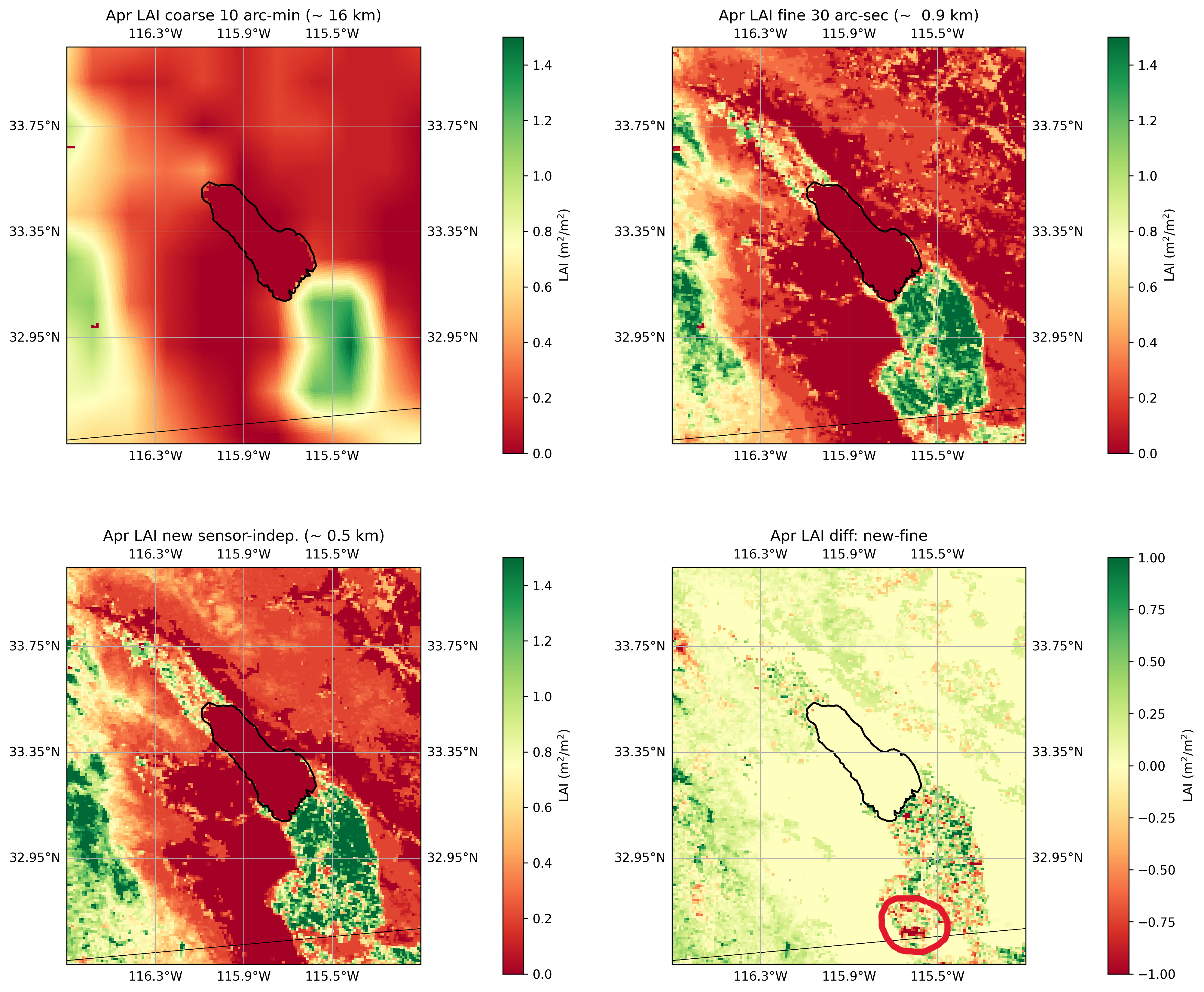
There are several other solar fields in the region. Another big solar farm is the Mount Signal Solar farm (794 MW) which is located right next to the US-Mexico border, west of Calexico, which was developed by 8minute Solar Energy, an American photovoltaic (PV) developer. It was built in 3 phases between 2014-2018. This solar farm is clearly visible in the high-resolution Leaf Area Index (LAI) data (Figure below, marked with red circle) that I am using in my WRF model to simulate the effect of land use changes on the microclimate of the Imperial Valley region.
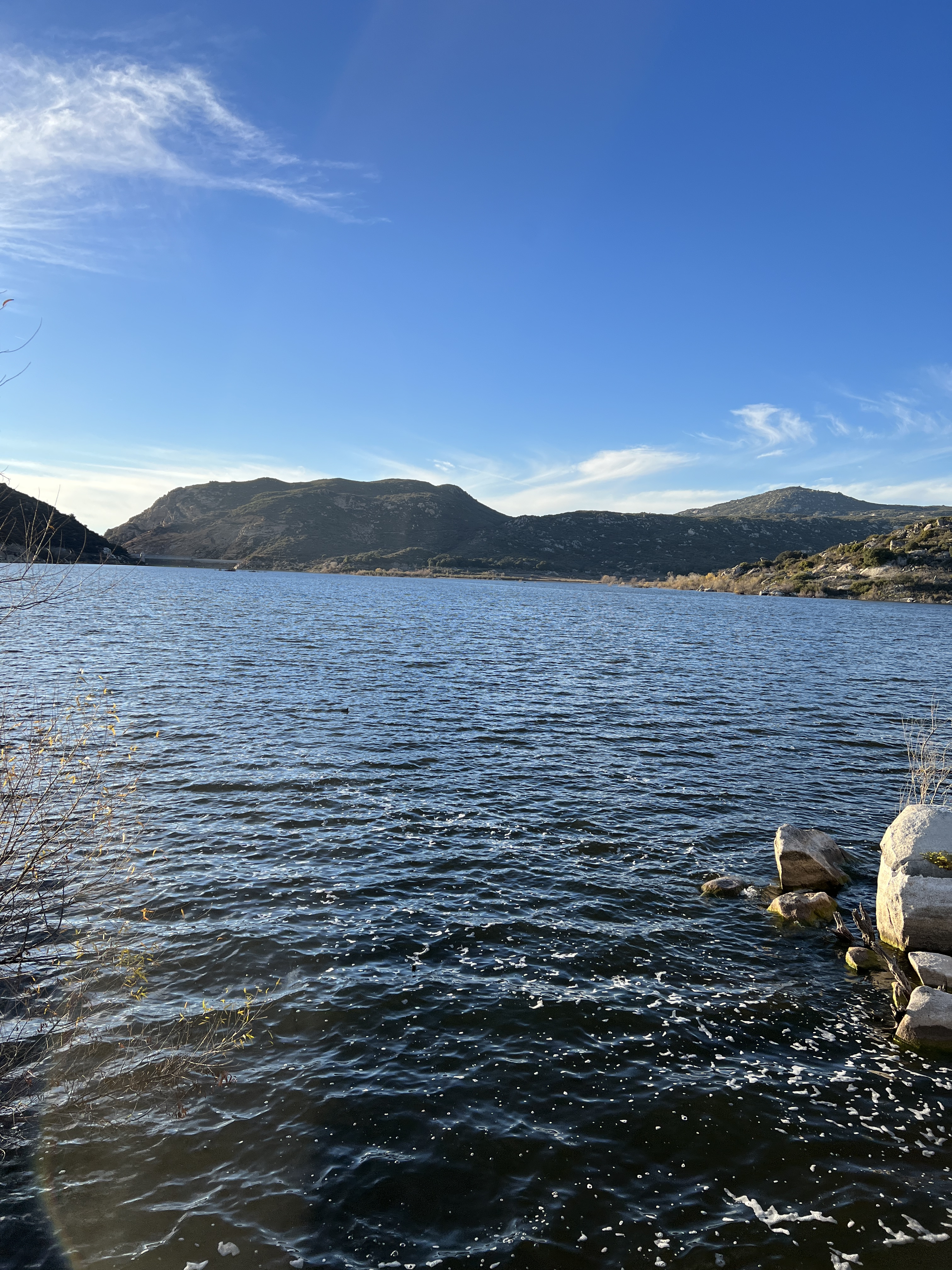
I took a different route for my return along I-8, which was a beautiful scenic drive through rocky hills. I also went to Lake Morena which was some 5 miles off the highway. This site is linked to the famous rainmaker of the 20th century Charles Hatfield, who was known to make rain by mixing and burning various chemicals into the air. His recipe was top-secret, only known by him and he took it to the grave. Charles and his brother set up their rainmaking tower beside the Morena Reservoir and supposedly got to work in 1916.
I wanted to drive all around the Salton Sea and the Imperial Valley to see all the interesting land use changes happening there but time was not enough in this trip. That will be the plan for my next trip to the region.
Leave a Reply